
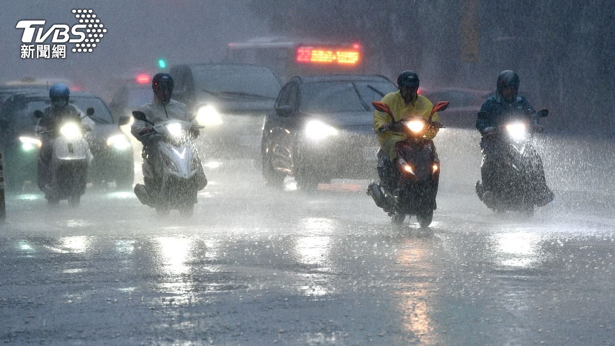
TAIPEI (TVBS News) — Tropical Storm CO-MAY's southwest winds delivered heavy rainfall to central and southern Taiwan Monday (July 28), creating dangerous weather conditions expected to persist until Sunday (Aug. 3). Climate expert Caterlanse Wu (吳聖宇) warned that the storm's atmospheric influence could generate significant precipitation across multiple counties, particularly threatening Chiayi, Tainan, and Yunlin regions. The meteorological threat represents a sustained period of potentially hazardous weather conditions.
Tropical Storm CO-MAY had weakened to a low-pressure system before regaining strength east of Naha, Okinawa, one day earlier. Wu noted that CO-MAY would move northwest along the Pacific high-pressure ridge toward China's Yangtze River (長江) estuary, posing no direct threat to Taiwan's territory. The typhoon's outer circulation bands would nevertheless influence Taiwan's weather patterns throughout the week.
Rainfall measurements from midnight to 8:30 a.m. revealed the storm's devastating impact across multiple regions. Chiayi County's Taibao (太保) recorded 354 millimeters (13.9 inches), Tainan City's Houbi (後壁) measured 295.5 millimeters (11.6 inches), and Yunlin County's Beigang (北港) accumulated 252 millimeters (9.9 inches). Wu emphasized that regions south of Chiayi extending to Kaohsiung, Pingtung, and Taitung would experience increasingly pronounced rainfall throughout Monday.
Intensifying southwest winds would trigger increased rainfall from Taichung southward during Monday night, with particularly heavy precipitation expected across Kaohsiung and Pingtung areas. Wu urged residents to exercise extreme caution, emphasizing that strengthening southwest winds would sustain dangerous rainfall conditions until Tuesday. Areas south of Taichung face exceptionally high probabilities of heavy rain and should implement appropriate safety measures.