



Taiwan expects peak rainfall in central, southern regions
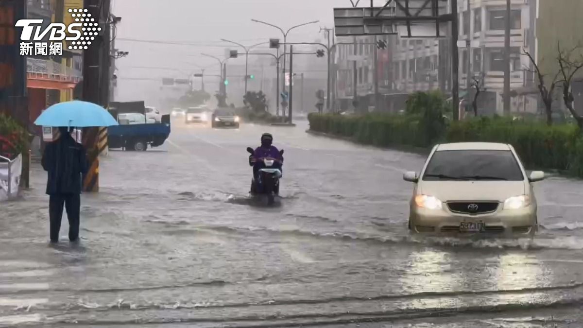
TAIPEI (TVBS News) — Meteorologist Wu Sheng-yu (吳聖宇) warned in a Facebook post that Taiwan will brace for unstable weather Friday (Aug. 1) as the southwest wind continues to impact the island. Wu said that areas south of Taichung Taiwan's central city expect sporadic showers and thunderstorms, with coastal and flat regions particularly vulnerable. He cautioned residents about the potential effects of significant rainfall, which could reach heavy or torrential levels in central and southern regions.
Wu urged vigilance against afternoon heat convection from Miaoli county northward to eastern Taiwan, which may trigger localized heavy rain and short bursts of intense downpours. Northern areas could experience temperatures soaring to 35-36 degrees Celsius (95-97°F) before the rain arrives. The Pacific high-pressure system will extend westward from Saturday to Monday (Aug. 2-4), with the low-pressure trough moving north. This atmospheric shift might lead to a peak in rainfall for the windward central and southern regions.
Wu noted that the southwest monsoon's strong wind axis will retreat westward to China's southeastern coast by Tuesday (Aug. 5), but localized heavy rain remains possible. He mentioned that by Wednesday, the monsoon is expected to weaken, reducing rainfall across Taiwan. Taiwan will return to typical summer weather starting Wednesday (Aug. 6), with afternoon mountain thunderstorms and temperatures rising to normal summer heat levels. ◼