



Taiwan clears 582 tons of waste with AI, UAV tech
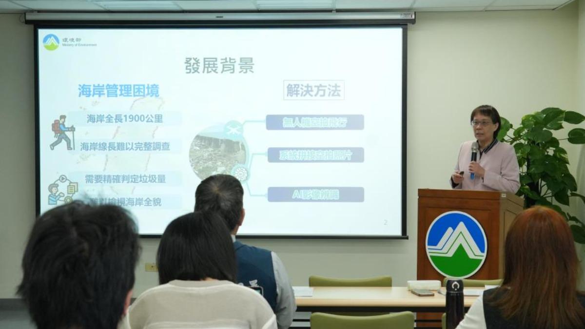
TAIPEI (TVBS News) — Taiwan has transformed its battle against coastal pollution through an innovative marriage of aerial technology and artificial intelligence. The Environmental Management Administration (EMA, 環管署) revealed Monday (March 24) that its deployment of unmanned aerial vehicles (UAV, 無人飛機) paired with sophisticated AI recognition systems has revolutionized marine waste detection and removal efforts nationwide. Officials reported the elimination of 582 metric tons of coastal debris over the past year, with the AI system achieving an impressive 80% accuracy rate after being trained on more than 8,000 historical aerial photographs of Taiwan's coastlines.
The technological initiative continues to evolve under ambitious leadership. Yen Hsu-ming (顏旭明), director general of the EMA, outlined plans for further refinement of the AI recognition capabilities, particularly focusing on more precise waste classification to streamline removal operations. The program's scale became apparent as Yen detailed 2024 operations, during which drone teams surveyed 15 distinct coastal regions across Taiwan. These missions yielded 5,726 high-resolution aerial photographs that enabled the AI system to identify 477,630 square meters of pollution with remarkable precision, maintaining accuracy rates exceeding 80% across diverse coastal environments.
The program's impact has been particularly pronounced in several pollution hotspots across the island. Officials documented 22 major coastal contamination incidents that triggered targeted interventions throughout the year. The most substantial cleanup operations occurred at Tainan Qingcaolun (台南青草崙), Miaoli Xinzhu (苗栗新埔), Kaohsiung Shanwei (高雄汕尾), and Yunlin Wutiaogang (雲林五條港), where the three-phase approach proved especially effective. The methodology follows a precise sequence: drones first conduct comprehensive aerial surveys, then AI systems analyze the imagery to identify and classify pollution zones, before ground teams execute targeted removal operations based on the technological intelligence.
The technology addresses unique challenges presented by Taiwan's geography. Yen highlighted the nation's extensive 1,990-kilometer coastline — much of it remote or difficult to access by traditional means — as perfect territory for drone deployment. The current UAV models can survey approximately 2 kilometers of shoreline per flight, enabling rapid assessment of previously inaccessible coastal segments. This comprehensive coverage has dramatically improved pollution detection capabilities, allowing authorities to identify contamination sites that might have previously gone unnoticed until waste accumulation reached severe levels.
The program's most dramatic impact may be in operational efficiency. Yen reported that cleanup operations that previously required a full week of labor can now be completed within a single day thanks to the precision targeting enabled by the drone-AI system. Rather than conducting exhaustive manual shoreline surveys, cleanup teams now deploy directly to precisely mapped pollution zones with appropriate equipment for the specific waste types identified. This measure greatly enhances both our cleanup efforts and monitoring effectiveness, according to Yen noted, suggesting the technology represents a fundamental shift in Taiwan's approach to environmental protection rather than merely an incremental improvement.