



Typhoon Champi closes in on Taiwan with landfall not ruled out
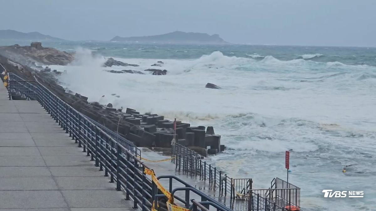
TAIPEI (TVBS News) — Taiwan's Central Weather Administration (中央氣象署) said Thursday (Oct. 22) it has not ruled out the possibility that Typhoon Champi (薔琵) could make landfall as the severe storm approaches the island's northeast coast, with peak impacts expected between Friday night and Saturday morning.
"The current forecast track does not show landfall, but it is very close to Taiwan's land," CWA forecaster Lin Ping-yu (林秉煜) said at an afternoon briefing. "We have not completely ruled out the possibility that it could make landfall."
As of 1 p.m. Thursday, Champi's center was located about 500 kilometers (around 310 miles) east-southeast of Taiwan's southernmost point, Eluanbi (鵝鑾鼻), moving northwest at 15 to 20 km/h (around 9 to 12 mph). The storm carried sustained winds of 51 meters per second (around 184 km/h or 114 mph) and gusts up to 63 m/s (around 227 km/h or 141 mph), classifying it as a severe typhoon.
The agency has issued combined land and sea typhoon warnings covering Yilan, Hualien, Taitung, the Hengchun Peninsula, and newly added Taichung, Nantou, Kaohsiung, and Pingtung. Lin said the entire island could be placed under land warning as early as the next bulletin, with the key uncertainty being when the typhoon will make its northward turn.
"Because the steering currents are relatively weak, we still need to observe whether there will be some interaction with the terrain, including slowing down or stalling and spinning in place," Lin said, his tone measured but emphatic.
The CWA forecast shows the typhoon center reaching waters east of Taiwan by Friday afternoon and coming closest around 2 a.m. Saturday, with conditions easing Saturday afternoon. The storm is expected to weaken slightly, reaching the upper limit of a moderate typhoon or the lower limit of a severe typhoon at closest approach.
Coastal areas from Keelung's north coast to the Hengchun Peninsula face waves exceeding 6 meters (around 20 feet), with a giant wave alert in effect for New Taipei's Gongliao District (貢寮區), eastern Taiwan, and the Hengchun Peninsula. Wind gusts of force 9 to 11 have already been observed Thursday, and Lin warned that Yilan, the north coast, central coastal areas, Lanyu, and Green Island could see force 12 gusts — around 118 to 133 km/h (73 to 83 mph) — on Friday.
Rainfall will intensify from Thursday evening through Saturday morning, with a heavy rain advisory issued for Taipei, New Taipei, Taoyuan, Keelung, and Yilan. Mountain areas in northern Taiwan and Yilan could see torrential rain or higher.
"Do not let your guard down during this period," Lin said. "You must face this typhoon with a cautious attitude and take typhoon preparedness measures."
The mayors of Taipei, New Taipei, Keelung, and Taoyuan are scheduled to announce at 8 p.m. Thursday whether to suspend work and classes for Friday. According to the CWA's 4 p.m. forecast, 18 counties and cities already meet the legal criteria for suspension, including coastal areas from Keelung to Kaohsiung and mountain areas in Taoyuan, Hsinchu, Miaoli, and Yilan. ◼