



Weather models predict scorching heat until Aug. 13
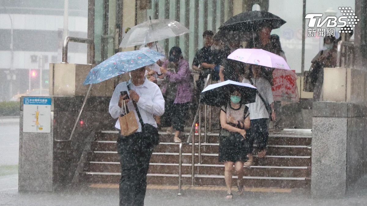
TAIPEI (TVBS News) — Tropical disturbance 96W formed northeast of the Mariana Islands Wednesday (Aug. 6), prompting meteorologists to closely monitor its westward trajectory toward Taiwan. The Facebook weather page Look Weather (觀氣象看天氣) predicted Thursday (Aug. 7) that 96W could pass over the Philippines and enter the South China Sea within three to four days. This weather system could potentially increase atmospheric moisture across Taiwan from Sunday through August 10-13, offering possible relief from the current scorching conditions.
Meteorologist Wu Der-rong (吳德榮) highlighted the latest European weather model simulation indicating a relatively low probability of typhoon formation affecting Taiwan directly. Wu noted that the atmospheric disturbance continues brewing east of Taiwan while maintaining its westward movement pattern across the Pacific region. The veteran forecaster emphasized the critical need for comprehensive sun protection and heatstroke prevention measures, as weather models predict persistently sunny and dangerously hot conditions across Taiwan from August 10-13.
The American weather model, updated August 6 at 8 p.m., suggests tropical disturbance 96W will intensify significantly, positioning near the Bashi Channel by Wednesday (Aug. 13) at 8 p.m. Pacific high pressure will deliver scorching conditions until Saturday (Aug. 9), with occasional afternoon mountain showers. Temperatures will soar to 38°C (100.4°F), with northern areas experiencing 23-38°C (73.4-100.4°F), central regions 21-36°C (69.8-96.8°F), southern areas 23-37°C (73.4-98.6°F), and eastern regions 22-35°C (71.6-95°F). ◼