



Strong winds and high waves expected in southern Taiwan
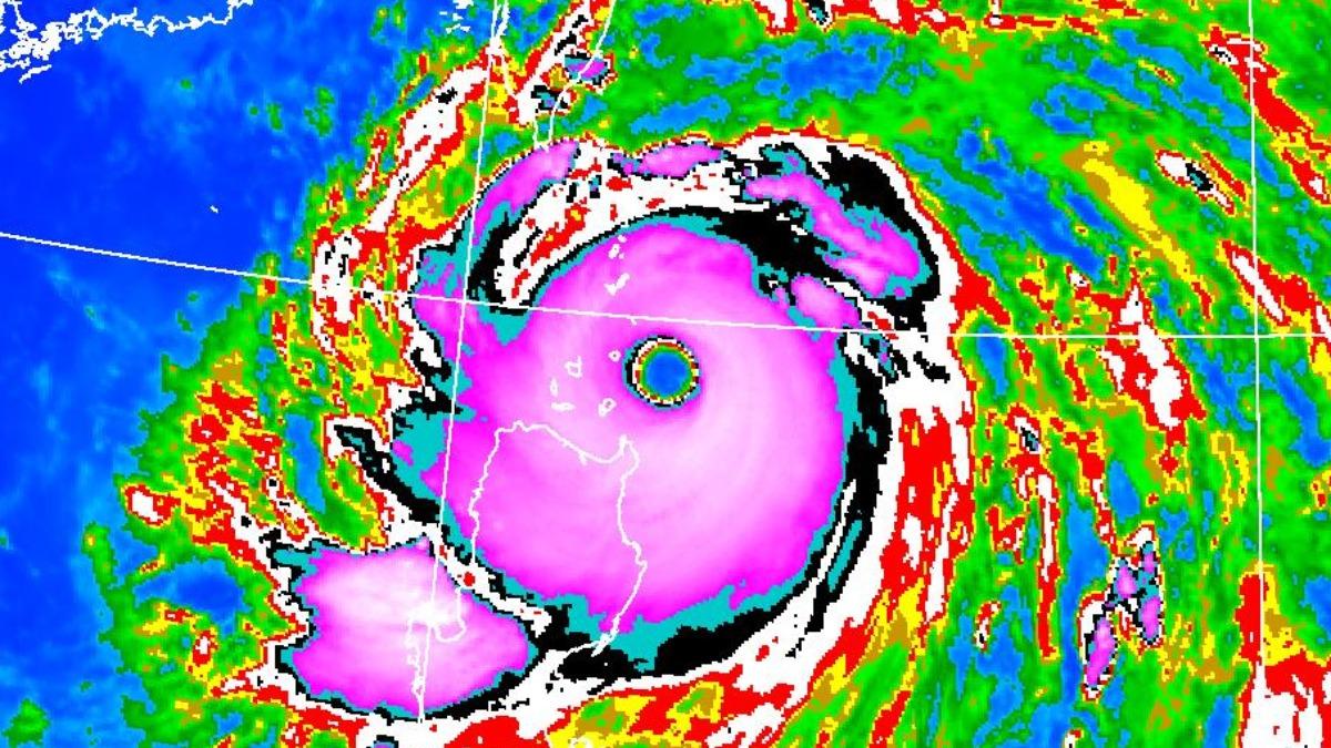
TAIPEI (TVBS News) — Typhoon Ragasa (颱風樺加沙) threatens Taiwan's Hengchun (恆春) Peninsula by midday Monday (Sept. 22), according to the Central Weather Administration (CWA, 中央氣象署), Taiwan's weather agency. The storm currently sits 370 kilometers (230 miles) southeast of Eluanbi (鵝鑾鼻), moving northwest at 20 kph (12 mph) with maximum winds near its center reaching 58 meters per second (209 kmh).
Wu Wan-hua (伍婉華), a senior technical specialist with the weather administration, warned Typhoon Ragasa's strength may increase and its storm circle could expand. Wu emphasized Monday and Tuesday represent the most critical impact periods. The typhoon's circulation will intensify rainfall in Hualien and Taitung regions, with heavy or torrential rains expected from Monday afternoon through Tuesday.
The weather administration issued land warnings for Taitung, Hengchun Peninsula, Pingtung, and Kaohsiung counties. Marine warnings cover the southern Taiwan Strait, southeastern Taiwan waters, the Bashi Channel, and Dongsha Islands (東沙島) waters. Wu warned heavy or torrential rains will strike eastern regions, Yilan and Pingtung mountain areas, Hengchun Peninsula, Orchid Island, and Green Island (綠島) from Monday afternoon.
Forecasters predict strong winds averaging Beaufort scale 6 (39-49 kmh) with gusts reaching scale 8 (62-74 kmh) across Yunlin northward, Kaohsiung, eastern regions, and Penghu, Kinmen, and Matsu areas. The administration recorded wave heights of 6 meters (20 feet) in Taitung and 5 meters (16 feet) in northern waters. Waves may exceed 10 meters (33 feet) near the typhoon's center. ◼