





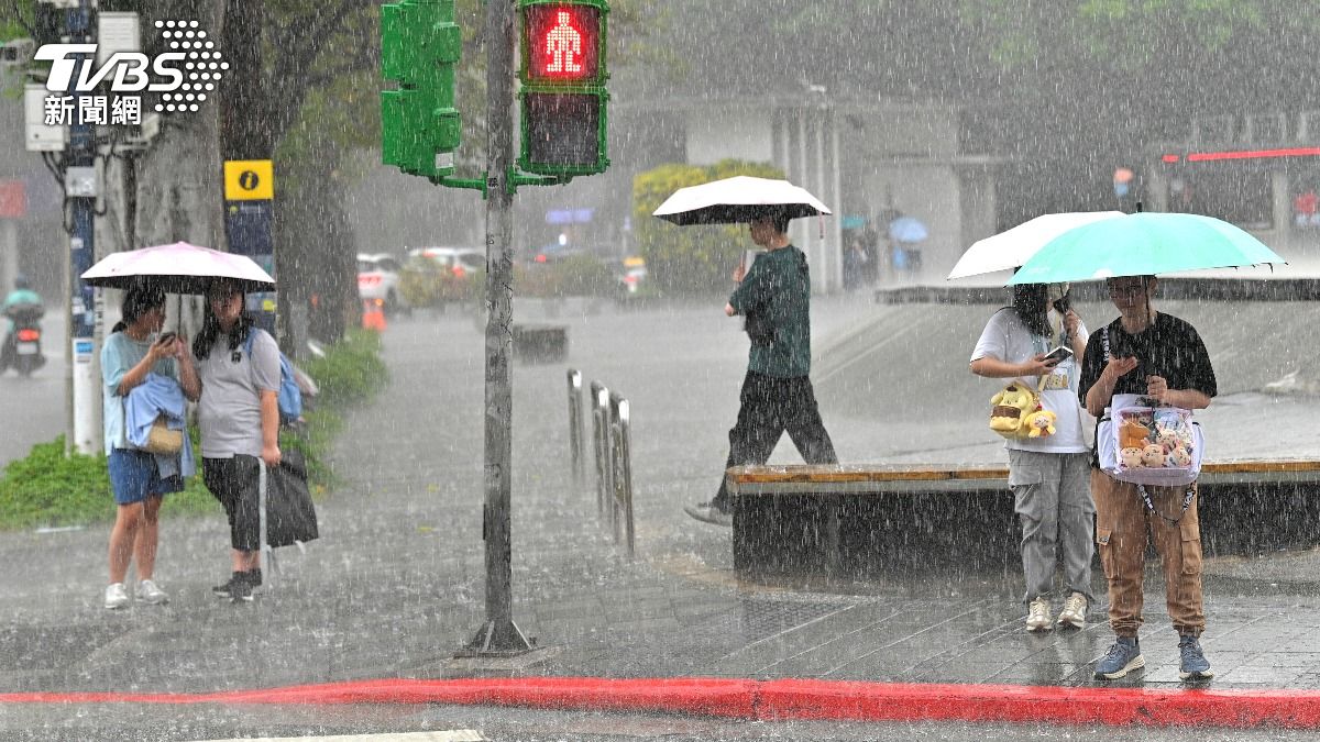
TAIPEI (TVBS News) — Dangerous long-period ocean swells generated by Typhoon Dolphin will begin reaching Taiwan's northern and eastern coastlines on Tuesday (Aug. 4). Taiwan's Central Weather Administration issued the warning Monday, noting the hazard will arrive days before the storm itself approaches.
The swells will first affect the northern coast near Keelung and the entire eastern coastline, including the outlying islands of Lanyu (蘭嶼) and Green Island (綠島). The Hengchun Peninsula will also be affected.
Wave heights are forecast to increase from 1.5 to 2.5 meters (5 to 8 feet) beginning Tuesday, rising to more than 3 meters (10 feet) by Thursday.
By the Father's Day weekend (Aug. 8-9), waves in northern waters could reach 6 meters (20 feet) or higher.
Winds will strengthen by Friday, with northern waters potentially seeing sustained Beaufort 10 to 11 (89 to 117 km/h or 55 to 73 mph) by the weekend.
As of 8 a.m. Monday, Moderate Typhoon Dolphin (白海豚) was located approximately 2,830 km (1,759 miles) east of Taipei, moving west-northwest at 25 km/h (15.5 mph).
Private forecaster WeatherRisk (天氣風險) assessed that the probability of the typhoon's center directly striking Taiwan is "relatively low."
Officials advised monitoring typhoon forecasts before venturing to coastal areas.
Forecast uncertainty remains high for the typhoon's path after it passes Okinawa. It was not immediately clear whether beach closures would be implemented.
Father's Day in Taiwan falls on Saturday (Aug. 8), based on the phonetic similarity between "88" (八八, bābā) and "papa" (爸爸, bàba). ◼