



Storm Podul threatens Taiwan with heavy rain, strong winds
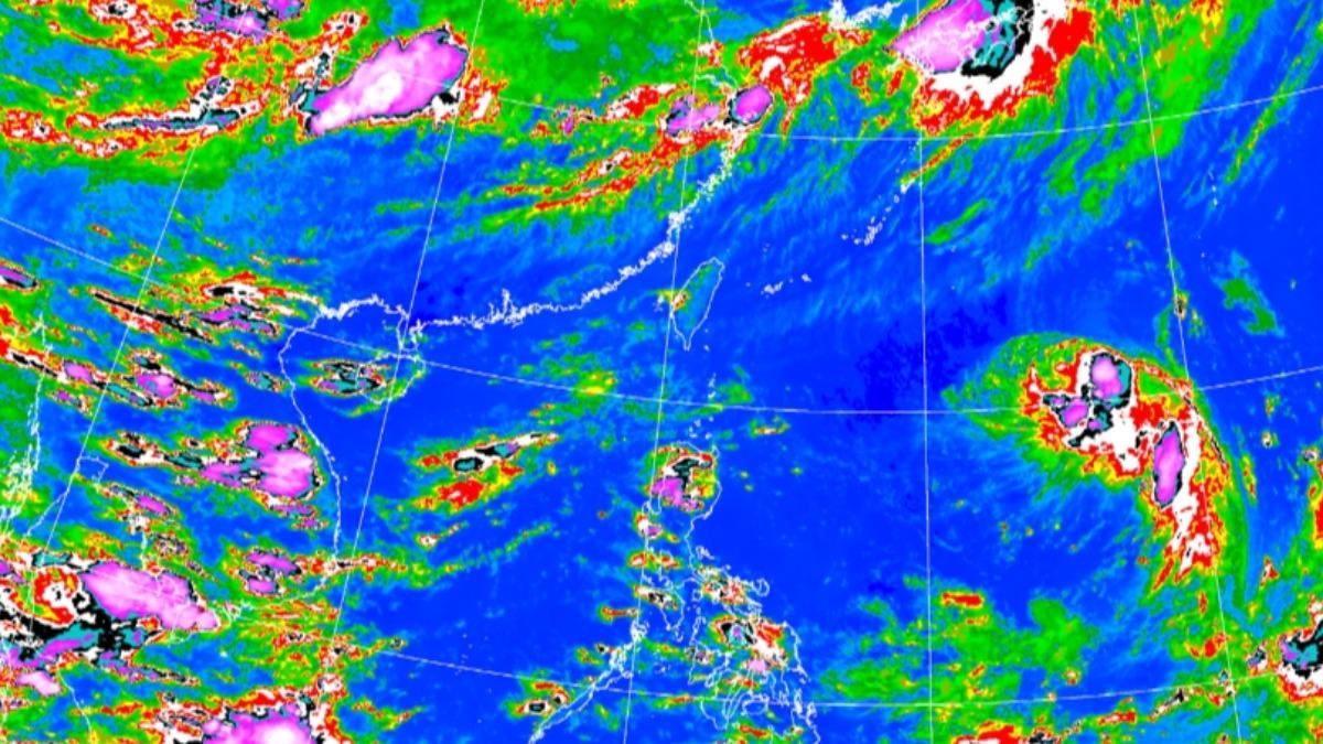
TAIPEI (TVBS News) — Taiwan's Central Weather Administration (CWA, 氣象署) predicts Typhoon Podul (楊柳颱風) will make landfall near Hualien and Taitung Wednesday (Aug. 13), bringing heavy rain to eastern and southern regions. The weather bureau plans to issue a sea warning late Monday or early Tuesday. A land warning will likely follow around noon Tuesday if the typhoon's path remains unchanged.
Weather officials describe Typhoon Podul as small yet compact, expecting significant wind and rain in the Hualien and Taitung regions. Southern Taiwan will also face strong winds and heavy rain as the storm approaches. Taiwan's eastern side will feel the typhoon's outer circulation from Tuesday (Aug. 12) evening, with the most substantial impact occurring Wednesday (Aug. 13) before the storm moves away by late afternoon.
The typhoon's influence will lessen Thursday (Aug. 14) as it heads toward China, with high pressure strengthening afterward. Monday and Tuesday (Aug. 11-12) will see scattered showers along the southern coast at night and early morning. Afternoon thunderstorms are likely in western areas and mountain regions, particularly in Greater Taipei and northern mountain areas.
Convection will develop near southeastern coastal areas as the typhoon approaches Tuesday evening, intensifying rainfall and winds along Keelung's northern coast, eastern regions, and the Hengchun (恆春) Peninsula. Heavy rainfall will peak Wednesday, with torrential rain possible in Hualien, Taitung, and southern mountain areas. The administration cautioned that land warning timing may adjust based on the typhoon's path, though wind and rain schedules remain largely unchanged. ◼